Types of Precipitation
Rain, drizzle, snow, sleet, ice pellets, freezing rain, hail and graupel: what each one is, how it forms and how to tell them apart, with official definitions and a warning that 'sleet' means different things in the UK and the US.
Part 4 of 8The Water Cycle series
Ages 11–16 · Grades 6–10 (US) · Years 7–11 (UK) · Classes 6–10 (India)
NGSS is a registered trademark of WestEd. Names and codes are used only to describe curriculum fit; InfoGraphHub is not endorsed by these organisations.
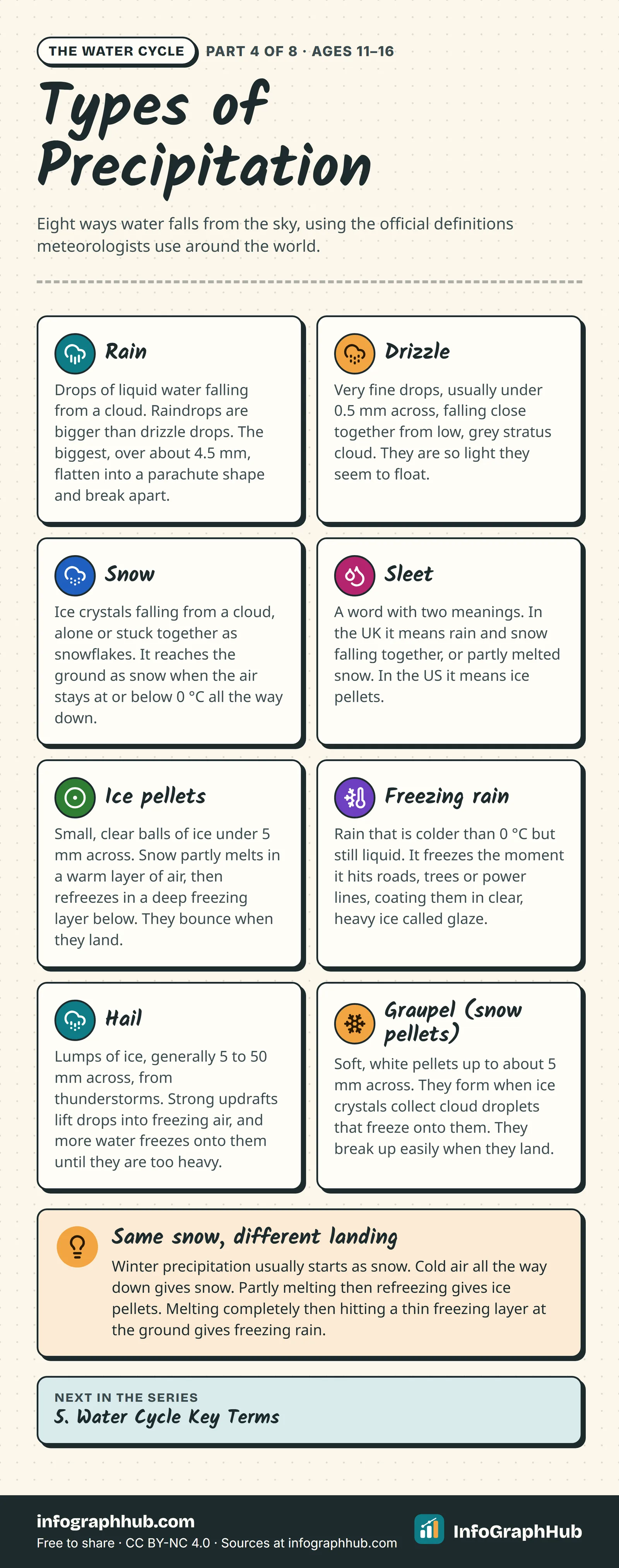
What counts as precipitation?
Precipitation is water, liquid or frozen, that falls from a cloud and reaches the ground. Weather services around the world classify it using definitions set by the World Meteorological Organization (WMO) in its International Cloud Atlas.
What type reaches you depends on two things: how the drops or ice particles grew inside the cloud, and the temperature of the air they fall through on the way down. The same cloud can give snow on a hilltop and rain in the valley below.
Liquid: rain and drizzle
Drizzle is made of very fine drops, usually less than 0.5 millimetres across, falling close together. It usually comes from a low, grey layer of stratus cloud and is so light that the drops seem to drift on the slightest breeze. Rain drops are larger, and their size varies with how heavy the rain is.
Raindrops are not shaped like teardrops. Small drops under about 1 mm are almost round. Drops of 2 to 3 mm are flattened underneath by the air rushing past them, and drops bigger than about 4.5 mm stretch into a parachute shape and soon break apart into smaller drops.
Frozen: snow, graupel and hail
Snow is ice crystals that fall from a cloud, either one at a time or stuck together. When the air is warmer than about –5 °C, crystals tend to clump into large, fluffy snowflakes. Snow reaches the ground as snow when the air stays at or below 0 °C from the cloud base all the way down.
Graupel, also called snow pellets, forms when an ice crystal collects supercooled cloud droplets that freeze onto it instantly. The result is a soft, white pellet up to about 5 mm across that breaks easily when it lands.
Hail forms only in thunderstorms. Strong rising air carries raindrops up into freezing parts of the storm, where they freeze. The hailstones then grow as more supercooled drops freeze onto them. They fall when the updraft can no longer hold up their weight. Hailstones are generally 5 to 50 mm across and occasionally much larger. Damaging hailstorms happen in many parts of the world, including China, India, Russia, northern Italy and the central United States.
Melting on the way down
Most precipitation that forms in winter clouds starts as snow, because the tops of the clouds are cold enough to make ice crystals. Then the layers of air below decide what lands:
- Cold all the way down: it stays as snow.
- A shallow warm layer, then a deep freezing layer: snowflakes partly melt and then refreeze into ice pellets, small see-through balls of ice that bounce.
- A deep warm layer, then a thin freezing layer at the ground: the snow melts completely, and the raindrops are supercooled but have no time to refreeze in the air. They freeze the instant they touch the ground, trees or power lines. This is freezing rain, and the clear ice it leaves is called glaze.
- Warm all the way down: it falls as rain.
One word, two meanings: sleet
Sleet has no internationally agreed definition. In the UK, the Met Office uses it for rain and snow falling together, or snow that has partly melted on the way down. In the United States, the National Weather Service uses sleet to mean ice pellets: frozen or mostly frozen raindrops, or refrozen partly melted snowflakes, that bounce when they land.
So if a British forecast and an American forecast both say 'sleet', they are describing different things. The WMO avoids the confusion by using the term ice pellets. When you read about sleet, check which country the writer is from.
Frequently asked questions
What is the difference between rain and drizzle?
Drop size. Drizzle drops are usually less than 0.5 mm across and fall close together from low stratus cloud. Raindrops are larger.
What is sleet?
It depends where you are. In the UK, sleet means rain and snow falling together, or partly melted snow. In the US, sleet means ice pellets: small, clear balls of ice that bounce when they land.
Why is freezing rain so dangerous?
The drops are liquid but colder than 0 °C, so they freeze the moment they touch anything. They coat roads, trees and power lines in a layer of clear ice called glaze, which is slippery and heavy.
What is the difference between hail and graupel?
Hail is hard ice, generally 5 to 50 mm across, that forms only in thunderstorms. Graupel (snow pellets) is soft, white and up to about 5 mm across, and it breaks up easily when it lands.
Are raindrops shaped like teardrops?
No. Small raindrops are almost round. Larger ones are flattened underneath by the air they fall through, and the biggest ones break apart before they could ever form a teardrop.
Sources & methodology
Every fact is checked against the sources below. We write original explanations and draw original graphics; no figures are copied from textbooks. Spotted an error? See our corrections policy.
- International Cloud Atlas: Drizzle (World Meteorological Organization (WMO), accessed 1 Oct 2026)
- International Cloud Atlas: Ice Pellets (World Meteorological Organization (WMO), accessed 1 Oct 2026)
- International Cloud Atlas: Hail (World Meteorological Organization (WMO), accessed 1 Oct 2026)
- International Cloud Atlas: Snow Pellets (World Meteorological Organization (WMO), accessed 1 Oct 2026)
- Sleet (Met Office, accessed 1 Oct 2026)
- Glossary: Sleet (US National Weather Service, accessed 1 Oct 2026)
- Severe Weather 101: Types of Winter Weather (NOAA National Severe Storms Laboratory, accessed 1 Oct 2026)
- Severe Weather 101: Hail Basics (NOAA National Severe Storms Laboratory, accessed 1 Oct 2026)
- The Anatomy of a Raindrop (NASA Global Precipitation Measurement, accessed 1 Oct 2026)
Editorial review pending · Updated
Embed this on your site
Paste this HTML into your page. Keep the credit line: it is required by the CC BY-NC 4.0 license.
Related infographics
 Science
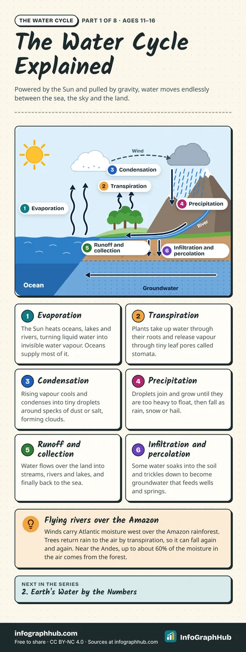
The Water Cycle Explained
The water cycle is the non-stop movement of water between oceans, air and land. Powered by the Sun, water evaporates, condenses into clouds, falls as rain or snow, and flows or soaks back towards rivers, groundwater and the sea.
 Science
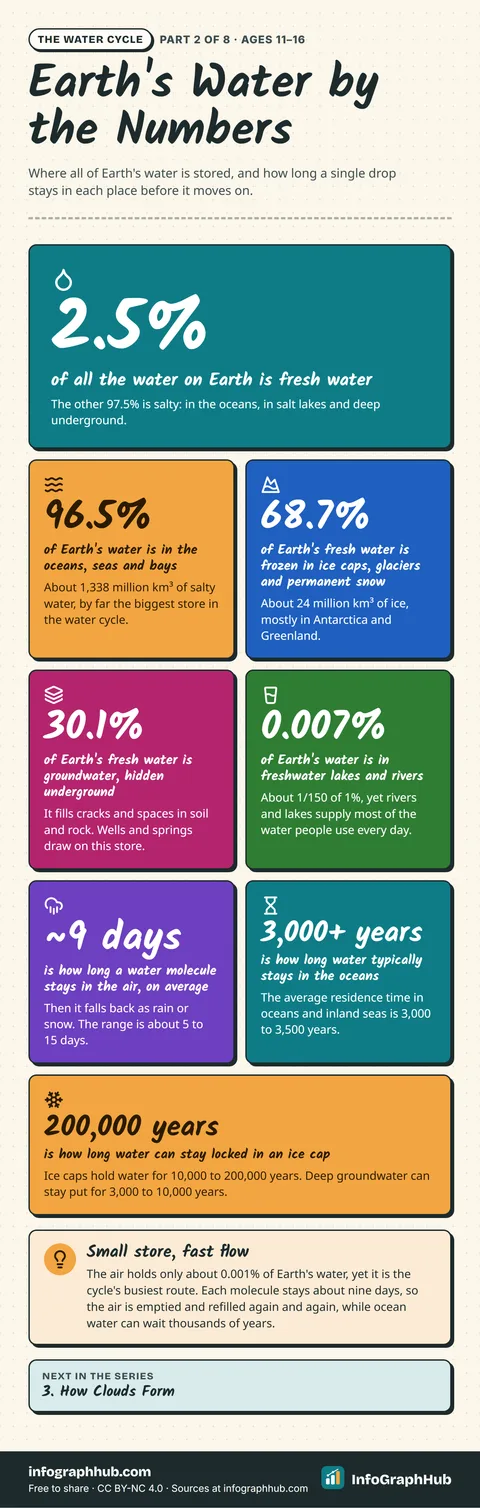
Earth's Water by the Numbers
Where is all of Earth's water, and how long does it stay there? Only 2.5% is fresh, most of that is frozen or underground, and a drop can spend nine days in the air or thousands of years in the ocean or an ice cap.
 Science
How Clouds Form
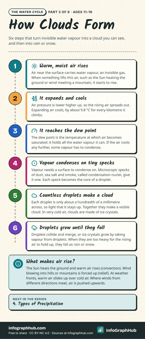
How does invisible water vapour become a cloud? Moist air rises, expands and cools to its dew point, then vapour condenses on specks of dust, salt and smoke into tiny droplets or ice crystals that grow until they fall as rain or snow.
 Science
Water Cycle Key Terms
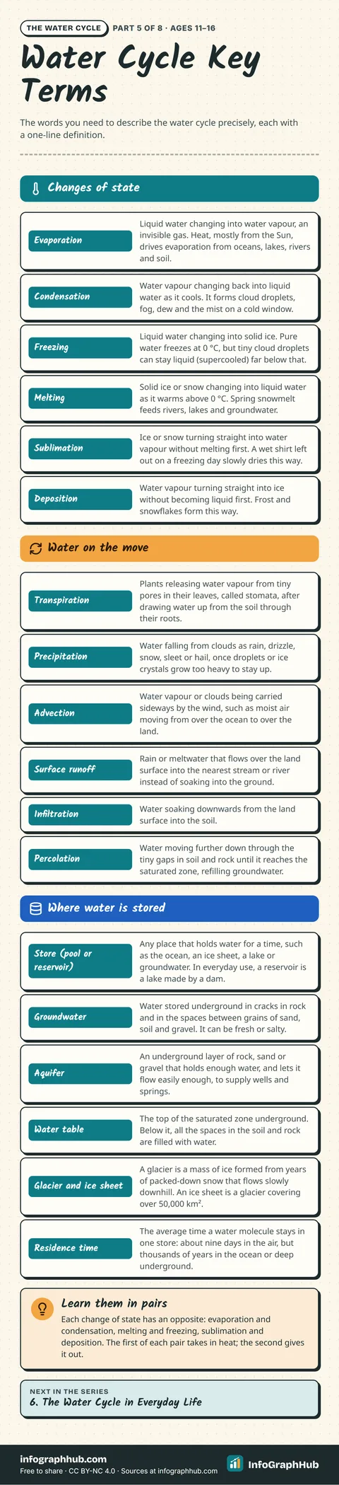
A cheat sheet of 18 water cycle key terms with precise one-line definitions, grouped into changes of state, water on the move and where water is stored, from evaporation and sublimation to advection, aquifers and residence time.
 Science
The Water Cycle in Everyday Life
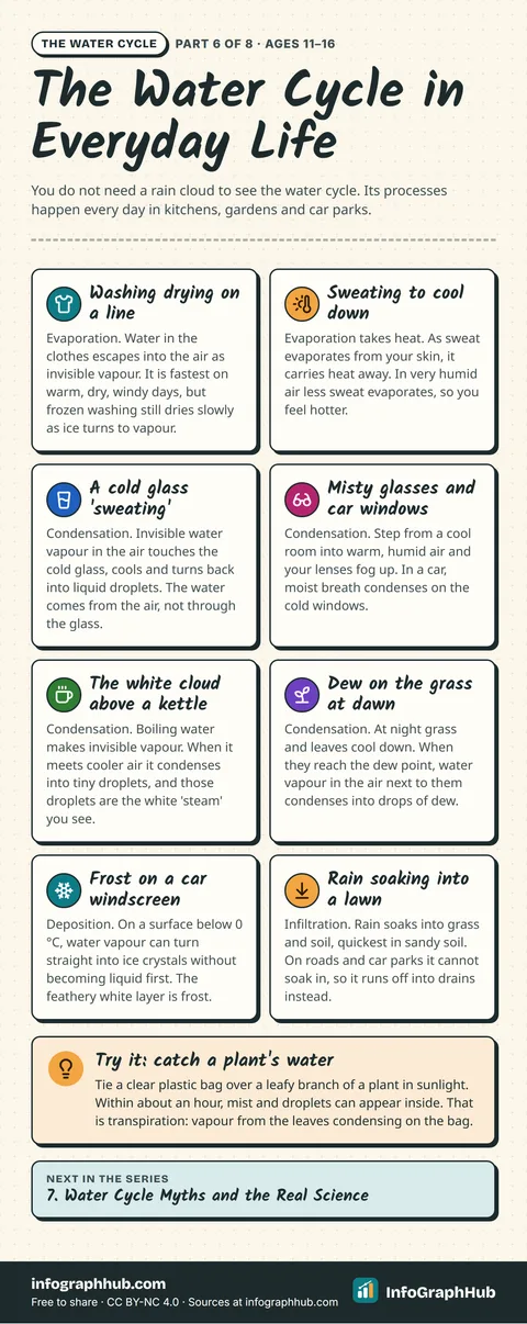
You can watch the water cycle at home and outside every day: washing drying, a cold glass 'sweating', the white cloud above a kettle, dew, frost and rain soaking into a lawn. Each one shows a real process, from evaporation to deposition.
 Science
Water Cycle Myths and the Real Science
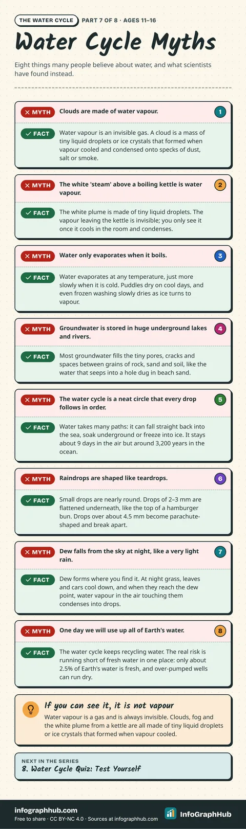
Eight common water cycle myths, corrected with evidence: clouds are not water vapour, kettle 'steam' is droplets, water evaporates without boiling, groundwater fills pores rather than underground lakes, raindrops are not teardrops, and more.
For teachers and parents: new InfoGraphHub resources by email
One short email when new free resources go live. For adults (18+) only. No spam, no tracking in emails, unsubscribe anytime.