Hi-res & print files
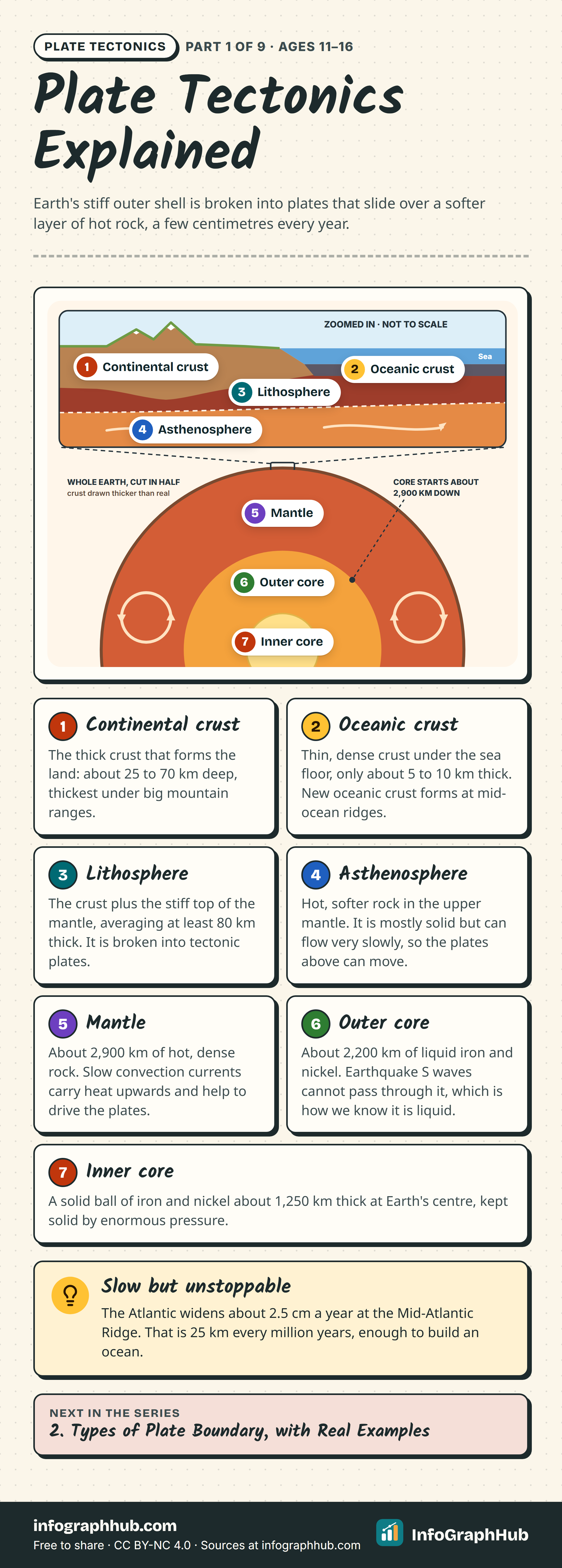
Plate Tectonics Explained
Free, no sign-up: larger files for print and slides
These files are free of charge. To support the site, you may sometimes be asked to view one short advertisement before the downloads below. You never need to click an ad, and there is no payment or reward. If no ad appears, the downloads are simply available.
What you get
- Hi-res PNG (2160 px wide) for large screens and slides
- SVG vector file that scales to any size
- Print PDF sized for A3 posters and notice boards
These files use the same CC BY-NC 4.0 license as the standard downloads.